If you don’t mind using a few packages to make things more Meteor friendly, here is a working solution:
- Install the dburles:google-maps package for reactive google map
support.
- Install the mdg:geolocation package for reactive geolocation support.
- Create a startup.js file in your client folder and paste this code in it:
if (Meteor.isClient) {
  Meteor.startup(function() {
    // Potentially prompts the user to enable location services. We do this early
    // on in order to have the most accurate location by the time the user shares
    Geolocation.currentLocation();
    GoogleMaps.load();
  });
}
- Updated geolocation.js file:
Template.geolocation.onCreated(function(){
  // We can use the `ready` callback to interact with the map API once the map is ready.
  GoogleMaps.ready('newMap', function(map) {
    Tracker.autorun(function(){
      var lat = Session.get('lat');
      var lng = Session.get('lng');
      var error = Geolocation.error();
      // Detect any geolocation errors
      if(error){
        handleNoGeolocation(map.instance, error);
      }
      // Render the map
      else {
        // Define a custom marker
        var botikaMarker = { url: 'images/mobotika.png' };
        // Store map position
        var pos = new google.maps.LatLng(lat, lng);
        // Center the map to the new coordinates
        map.instance.setCenter(pos);
        // Add a marker to the map once it's ready
        var marker = new google.maps.Marker({
          animation: google.maps.Animation.DROP,
          position: pos,
          map: map.instance,
          icon: botikaMarker
        });
      }
    });
  });
});
Template.geolocation.helpers({
  mapOptions: function(){
    var lat, lng, location, options;
    // Make sure the maps API has loaded
    if (GoogleMaps.loaded()) {
      location = Geolocation.currentLocation();
      // Check if location contains any coordinates
      if(location && location.coords){
        lat = location.coords.latitude;
        lng = location.coords.longitude;
      }
      // Otherwise use a default location
      else {
        lat = 10.310014;
        lng = 123.893131;
      }
      // Define reactive variables
      Session.set('lat', lat);
      Session.set('lng', lng);
      // Map initialization options
      options = {
        center: new google.maps.LatLng(lat, lng),
        zoom: 8,
        styles: [{
          "featureType": "water",
          "stylers": [{
            "saturation": 43
          }, {
            "lightness": -11
          }, {
            "hue": "#0088ff"
          }]
        }]
      };
      return options;
    }
  }
});
// Handle any Geolocation errors
function handleNoGeolocation(mapInstance, error) {
  var options = {
    map: mapInstance,
    position: new google.maps.LatLng(10.310014, 123.893131),
    content: error
  };
  var infowindow = new google.maps.InfoWindow(options);
  mapInstance.setCenter(options.position);
};
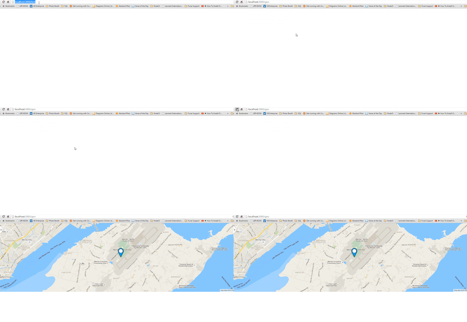
You should see your default map at first just like in your example. If any Geolocation error occurs, it should display the info window you had in there as well. When any new Geolocation coordinates are detected, the Tracker.autorun will kick in and reactively center the map to the new position.
- Updated geolocation.html file:
<template name="geolocation">
  <div class="map-container">
    {{> googleMap name="newMap" options=mapOptions}}
  </div>
</template>
- Updated geolocation.css file:
.map-container {
  width: 800px;
  max-width: 100%;
  height: 500px;
}
I hope this helps !


